- Home
-
Properties
- California
- San Bernardino County
- South Carolina
- Newberry County
- Texas
- Kaufman County
- Virginia
- Patrick County
- Colorado
- Alamosa County
- Costilla County
- Huerfano County
- La Plata County
- Las Animas County
- Park County
- Saguache County
- La Plata
- New Mexico
- Cibola County
- North Carolina
- Stokes County
- Onslow County
- Carteret County
- Mississippi
- Jackson County
- Marion County
- Pike County
- Florida
- Indian River County
- Hawaii
- Hawaii County
- Utah
- Carbon County
- Washington
- Yakima
- Oregon
- Klamath County
- Lake County
- Wisconsin
- Ashland County
- Crawford County
- Wyoming
- Sweetwater
- West Virginia
- Hampshire County
- Sold Properties
- Colorado
- Oregon
- Wisconsin
- Mississippi
- Under Contract
- Our Story
- Contact
- Financing
- FAQ
SOLD | 10 ACRES | LOT 31 TIERRA VERDE RANCHETTES | CIBOLA COUNTY | NEW MEXICO | $7,999 | SECURE TODAY...
Sold Out $499.00
-
SKU#: ASN-CI-NM-001
Size (Acres): 10 Acres
County: Cibola County
State: New Mexico
County Website Link: http://www.cibolacountynm.com/
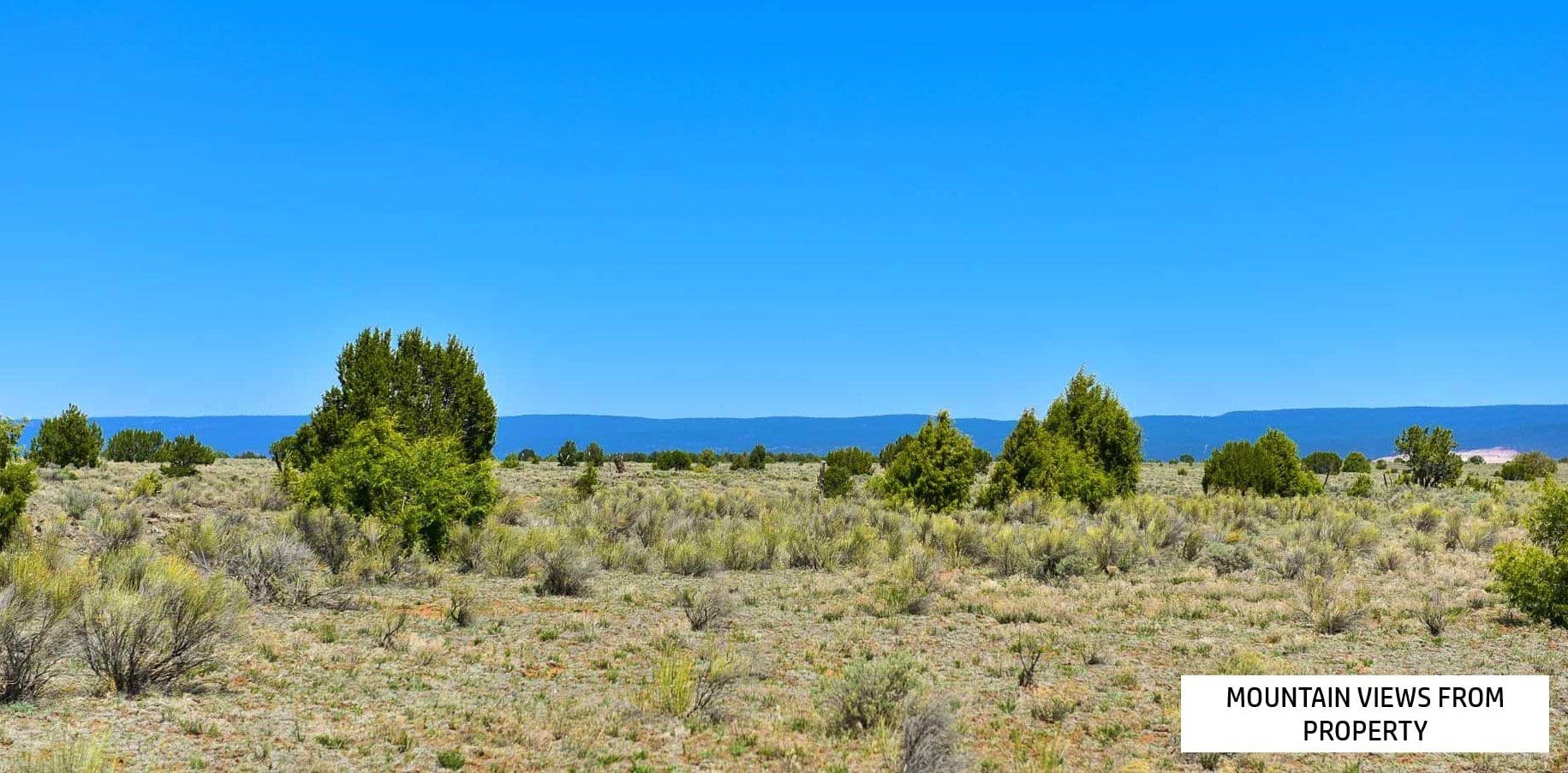
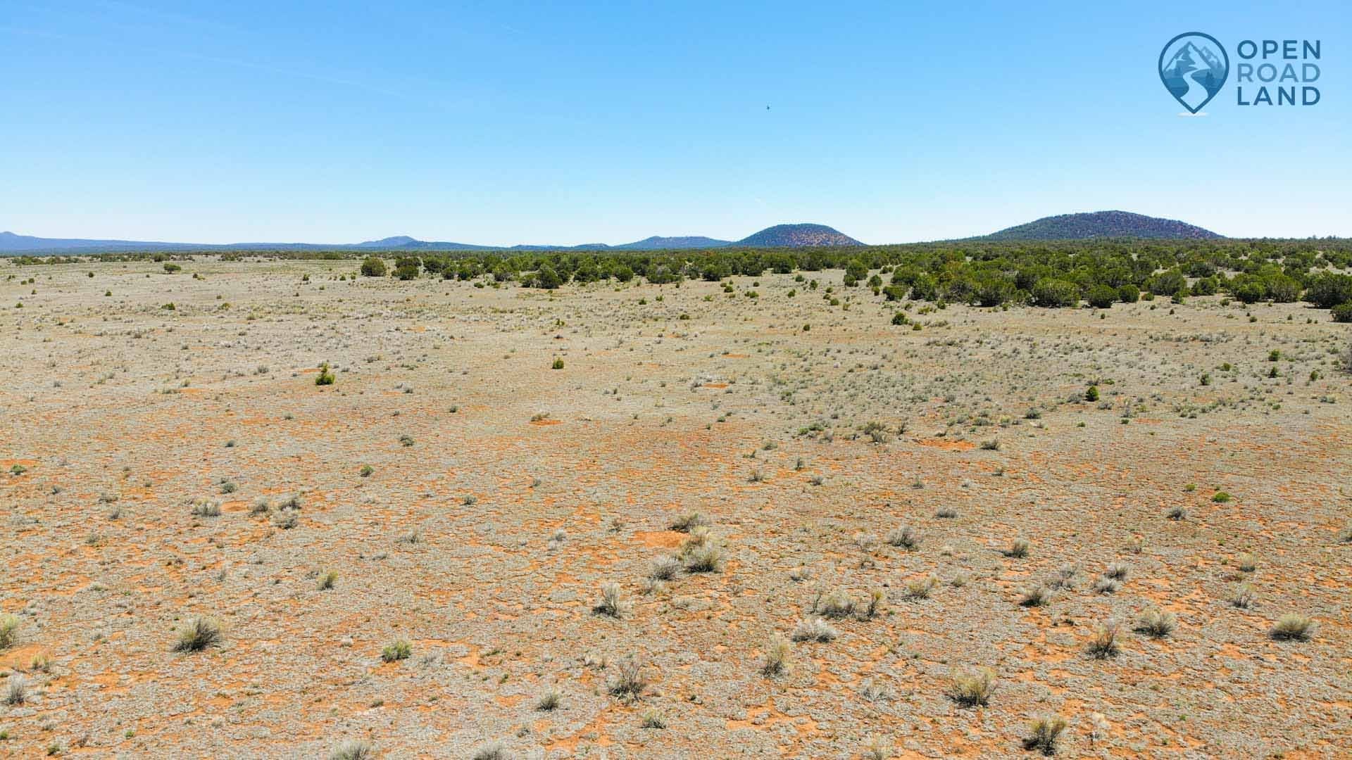
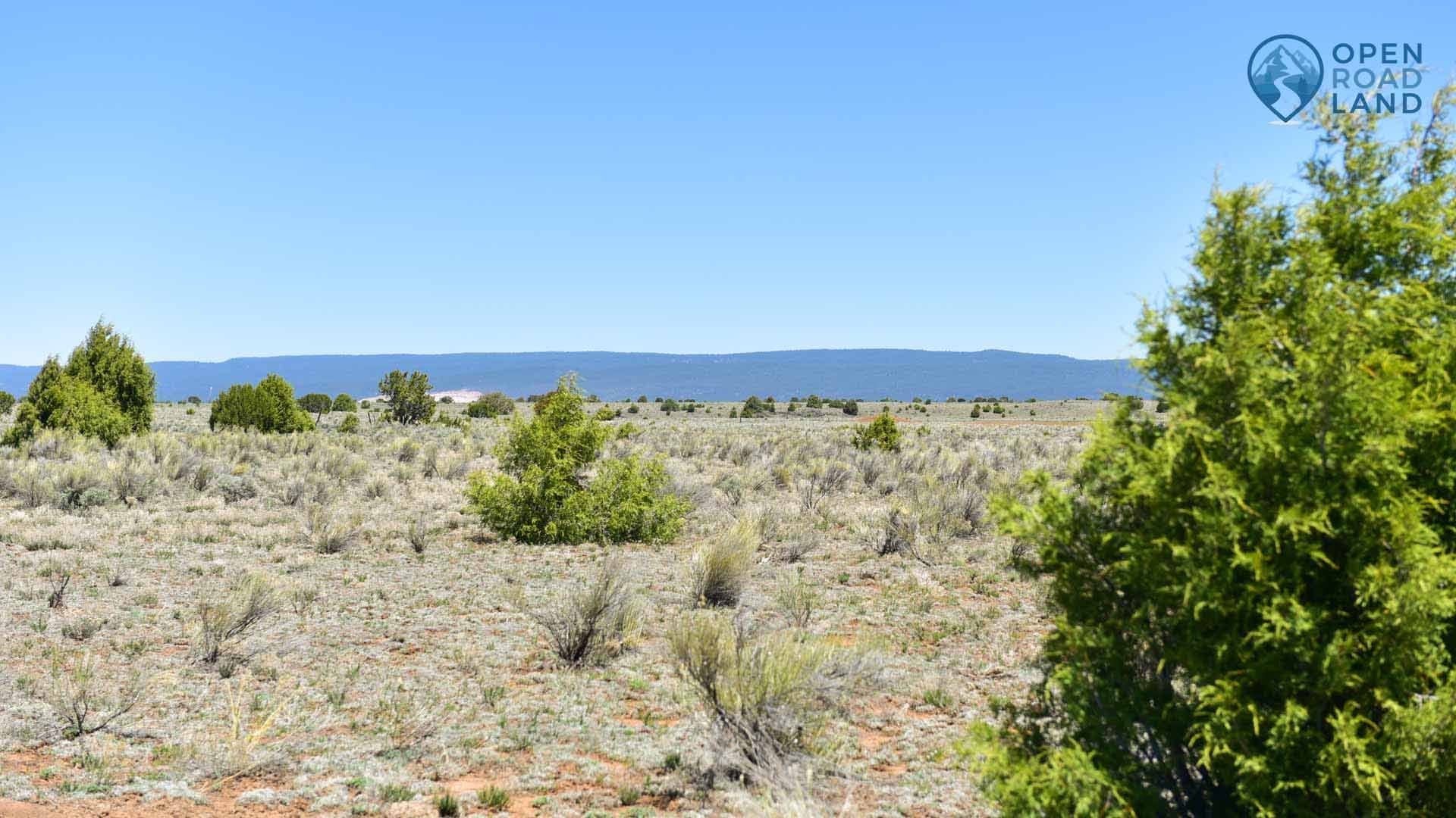
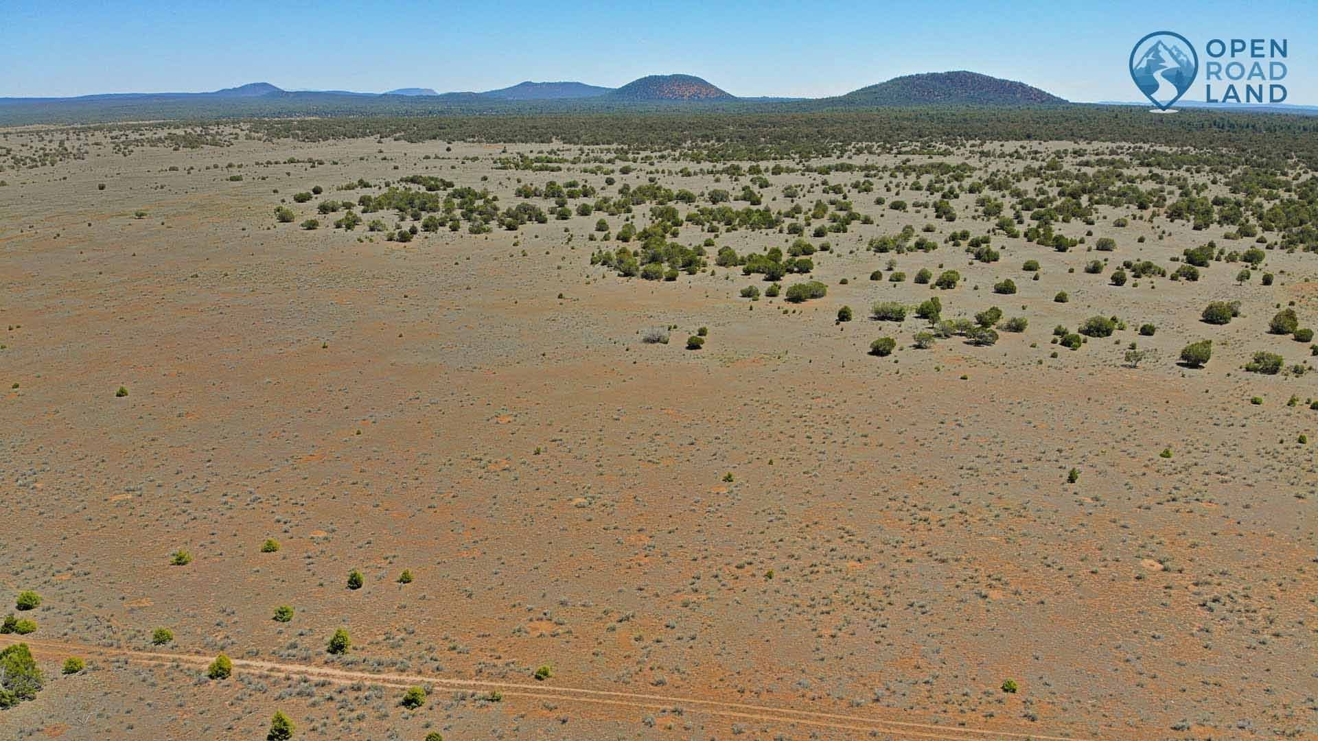
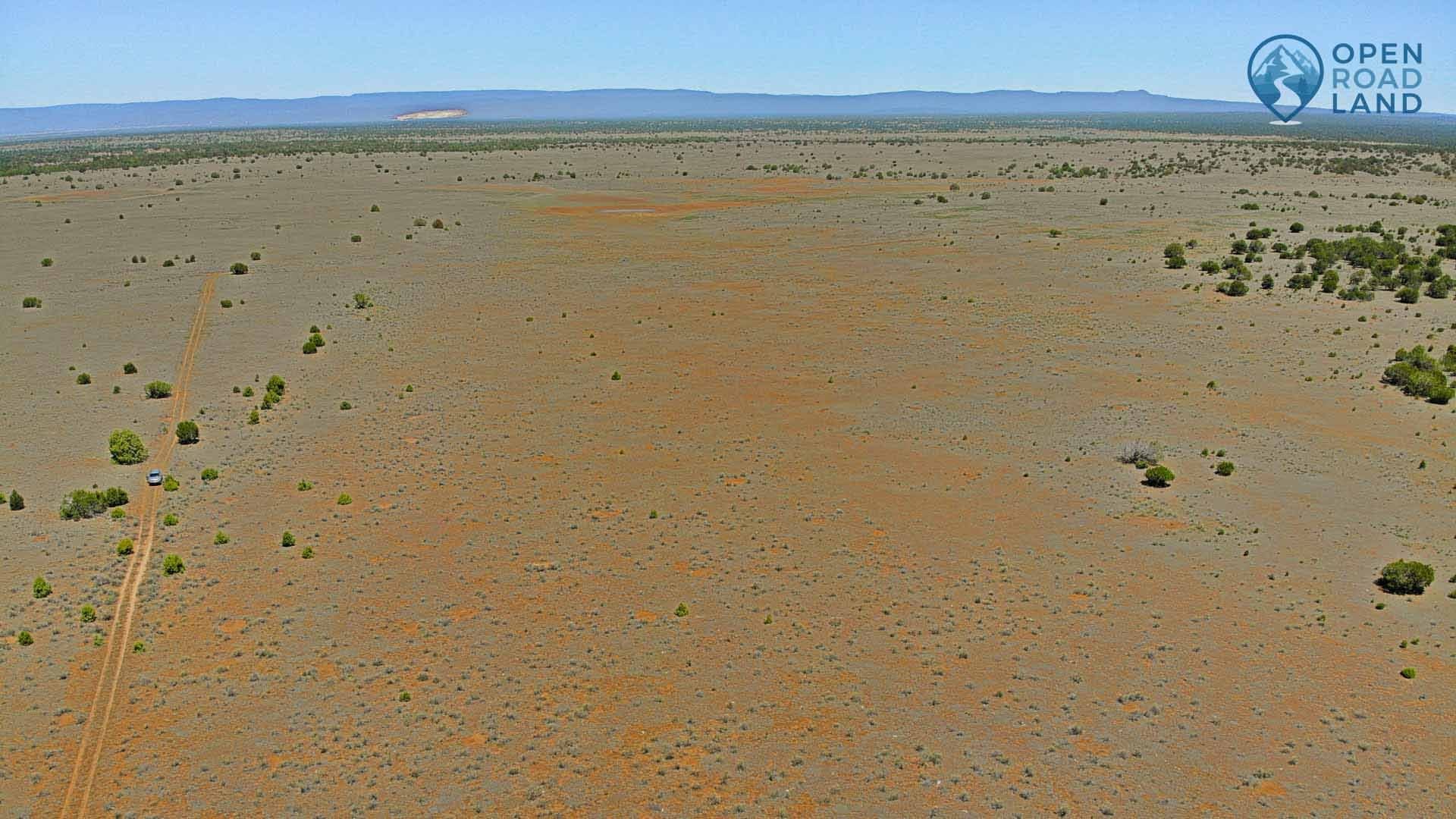
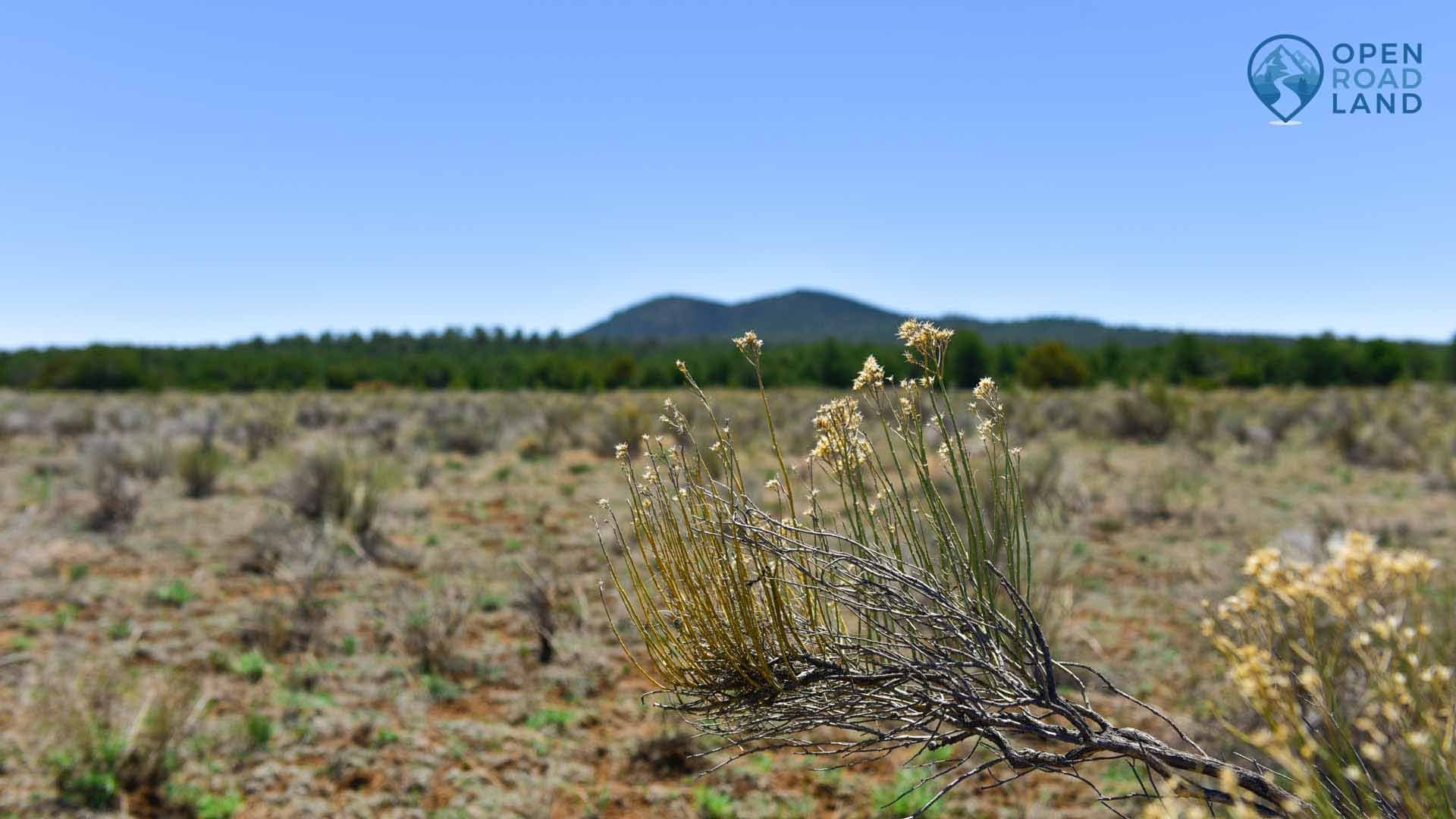
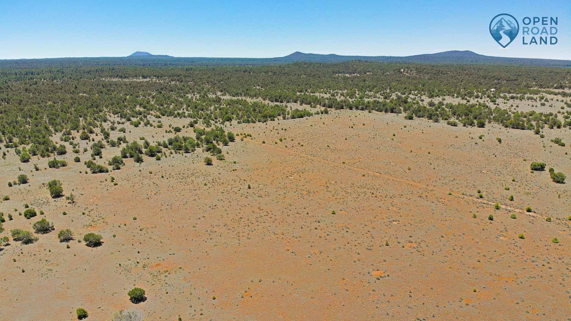
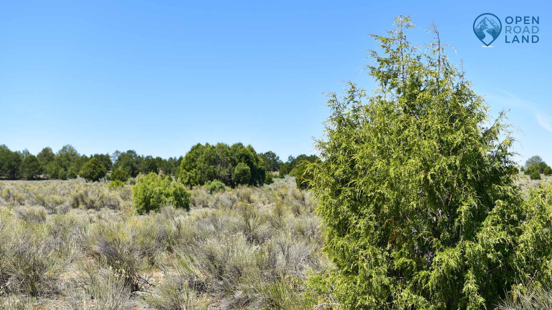
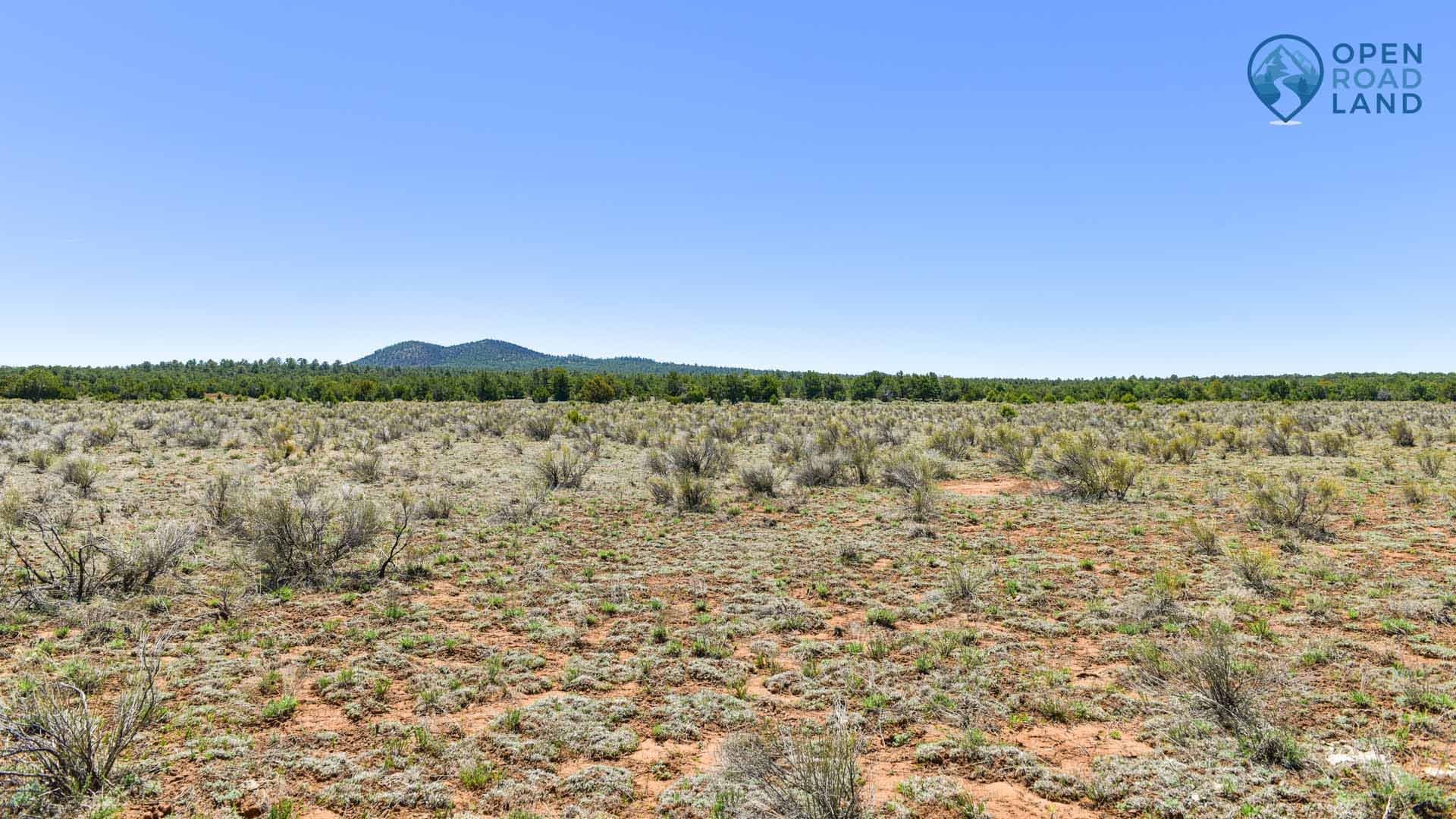
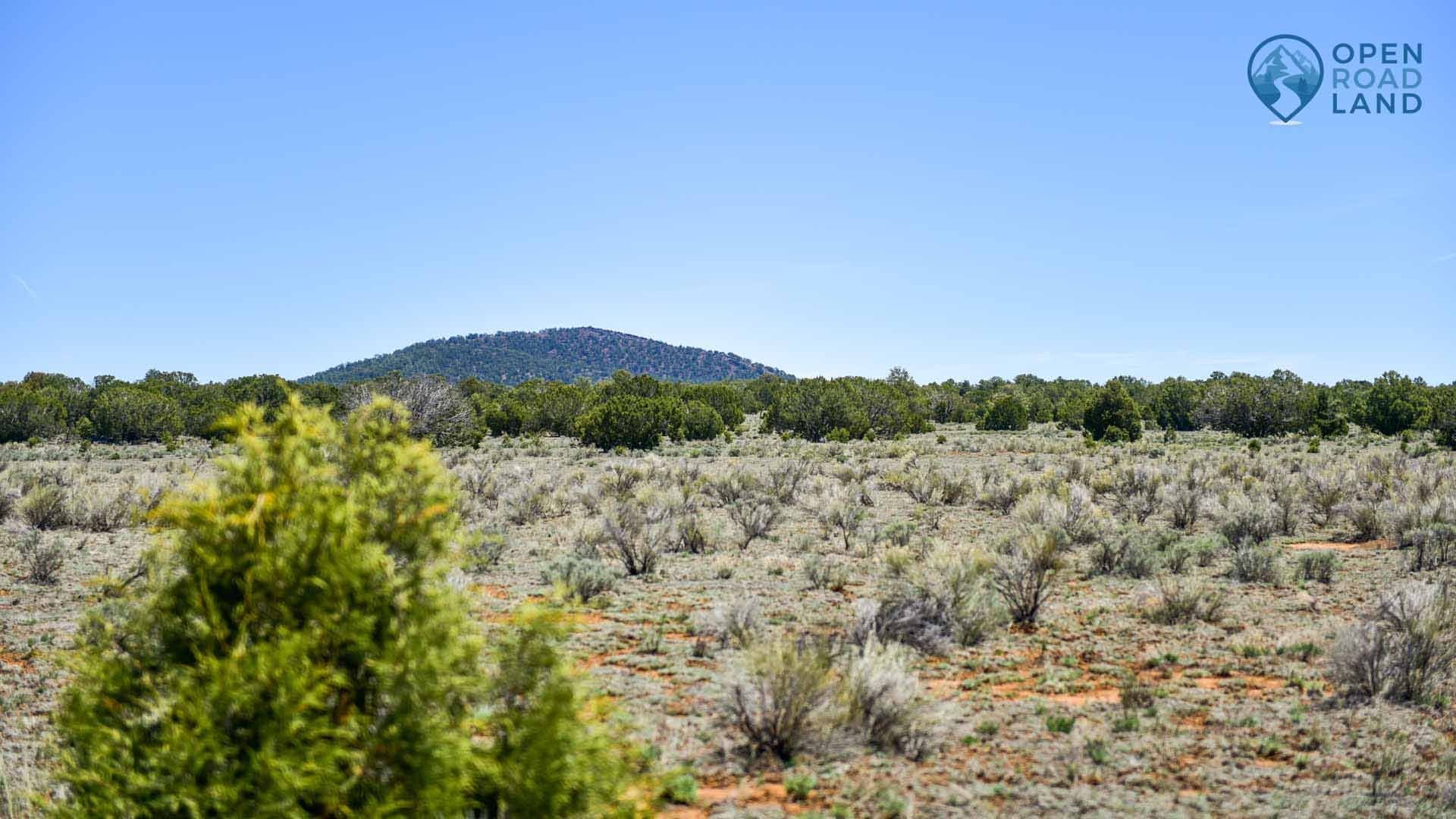
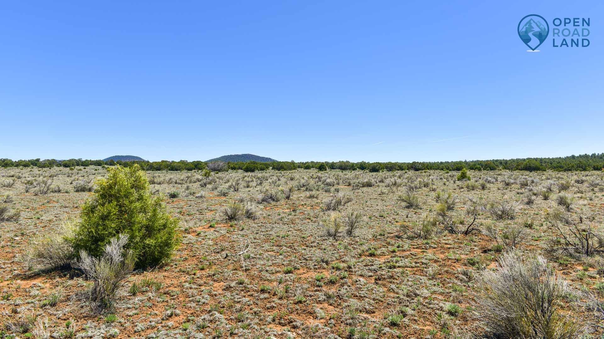
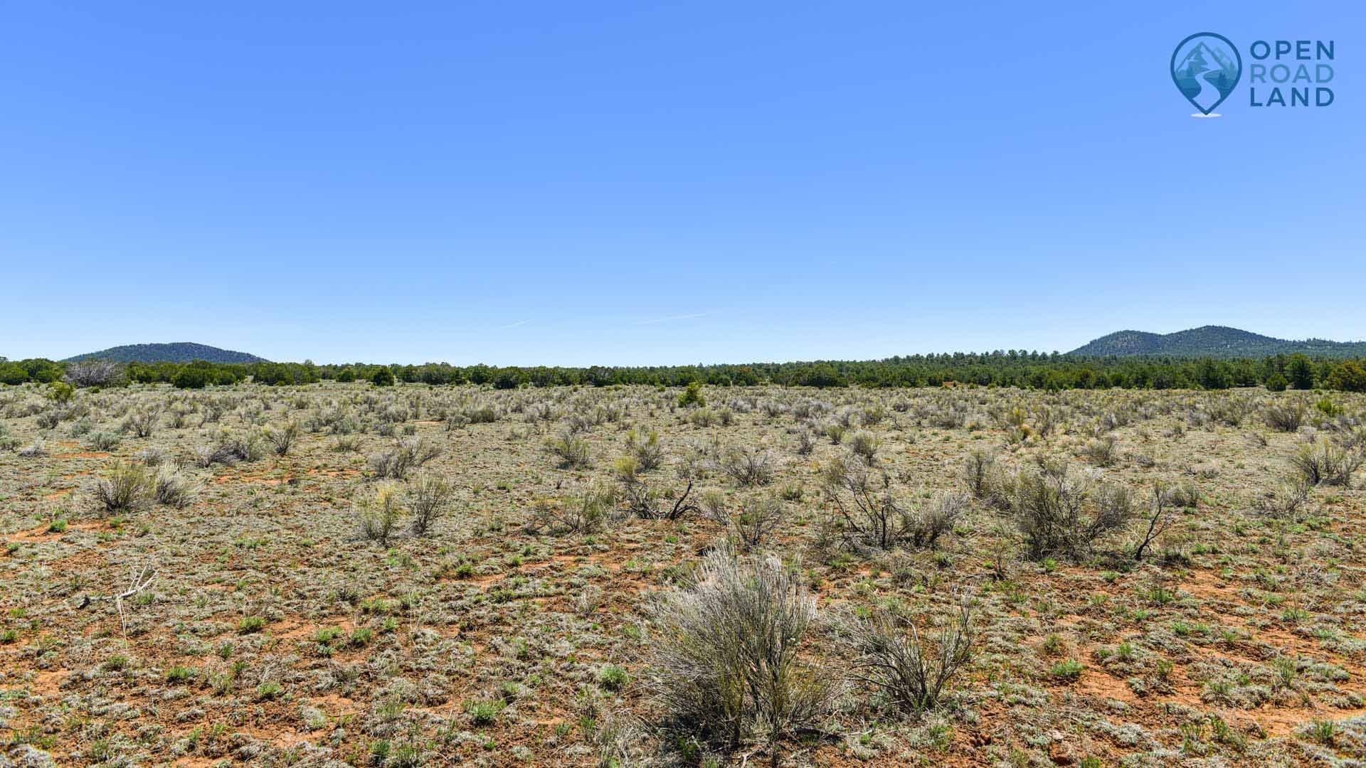
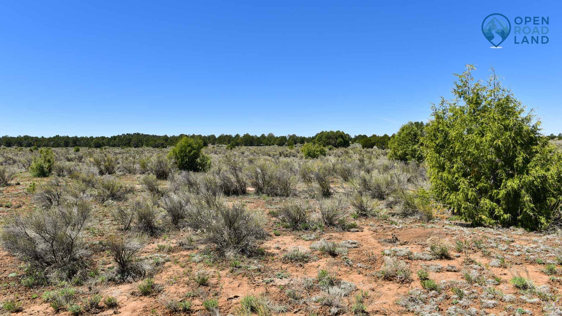
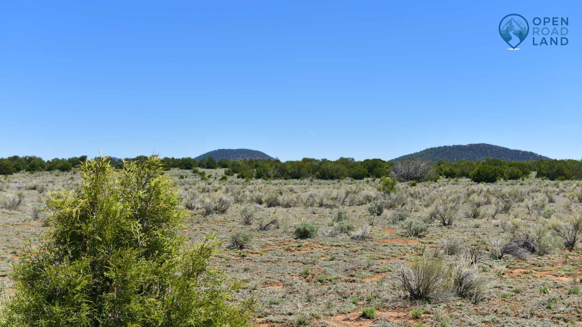
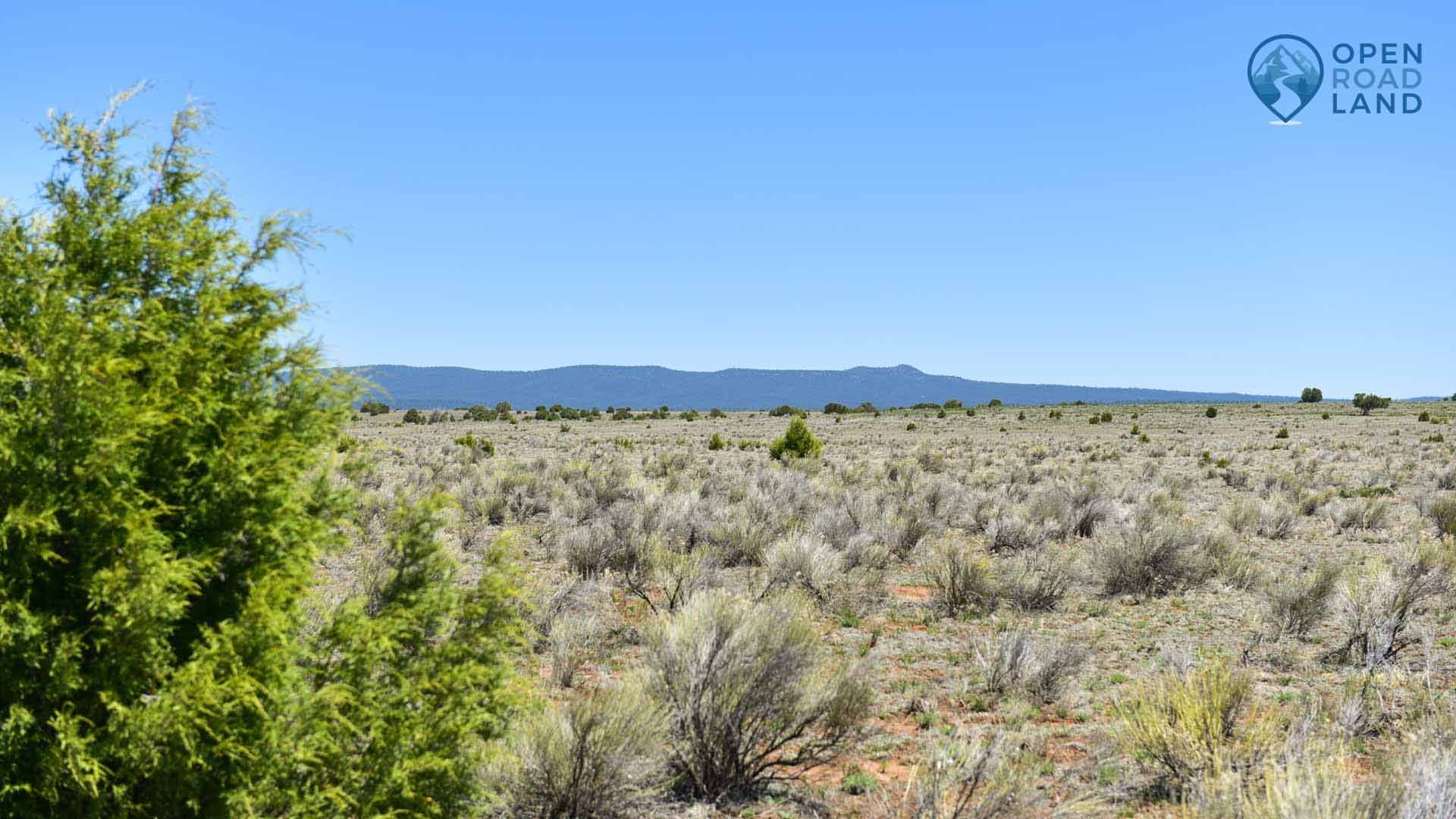
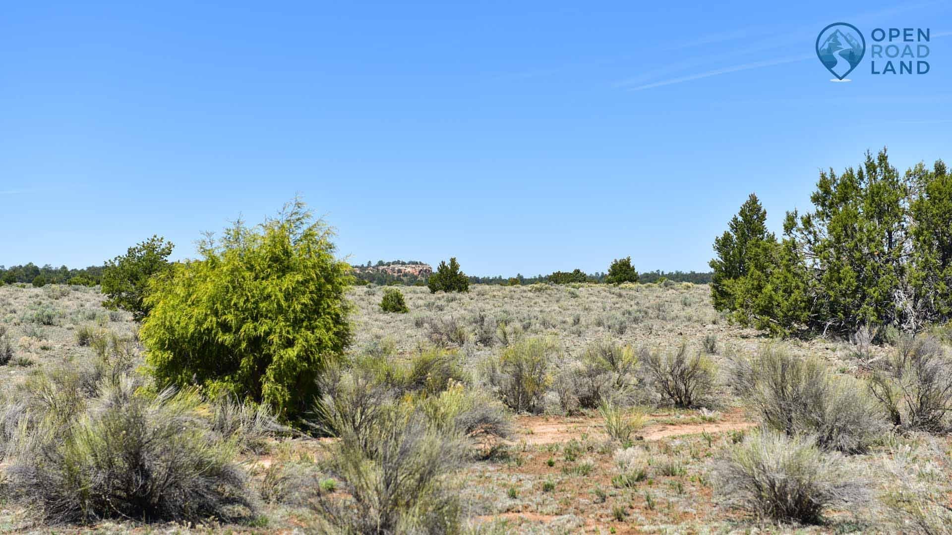
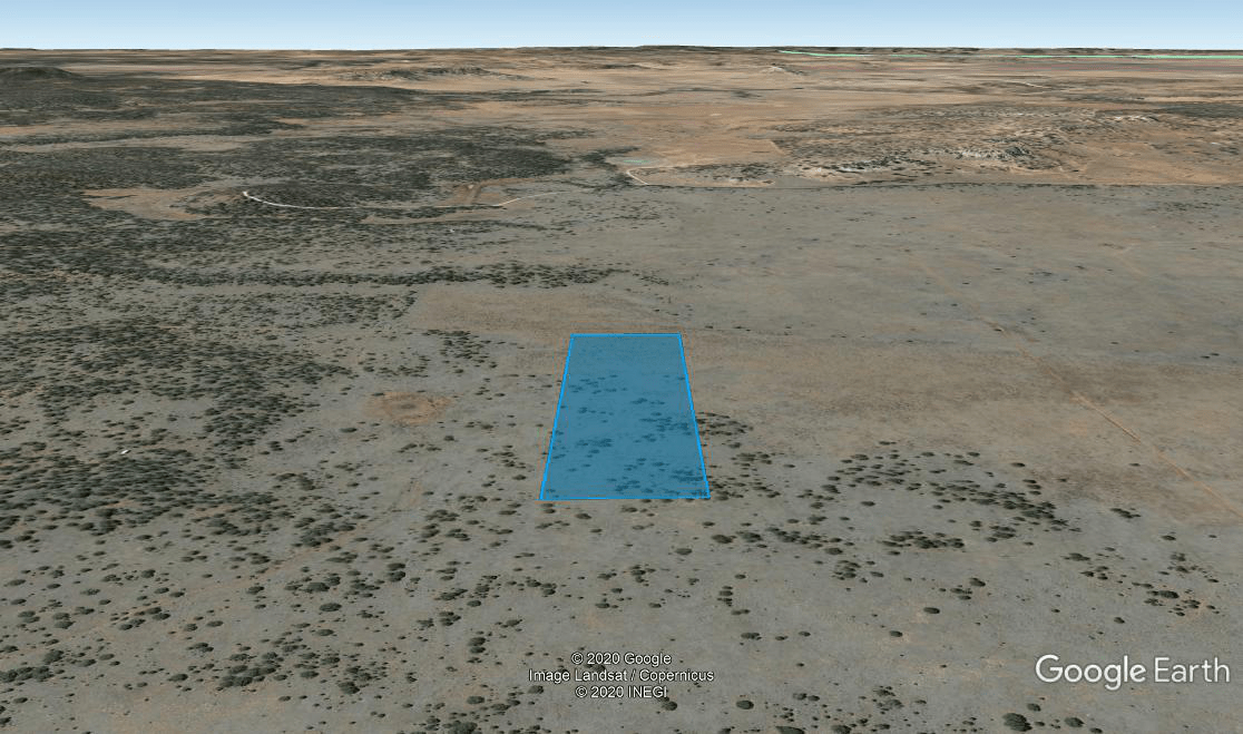
Highlights: 360 Degree Views, Public Land, Hunting, Location, Access, Affordable Taxes, Outdoor Activities
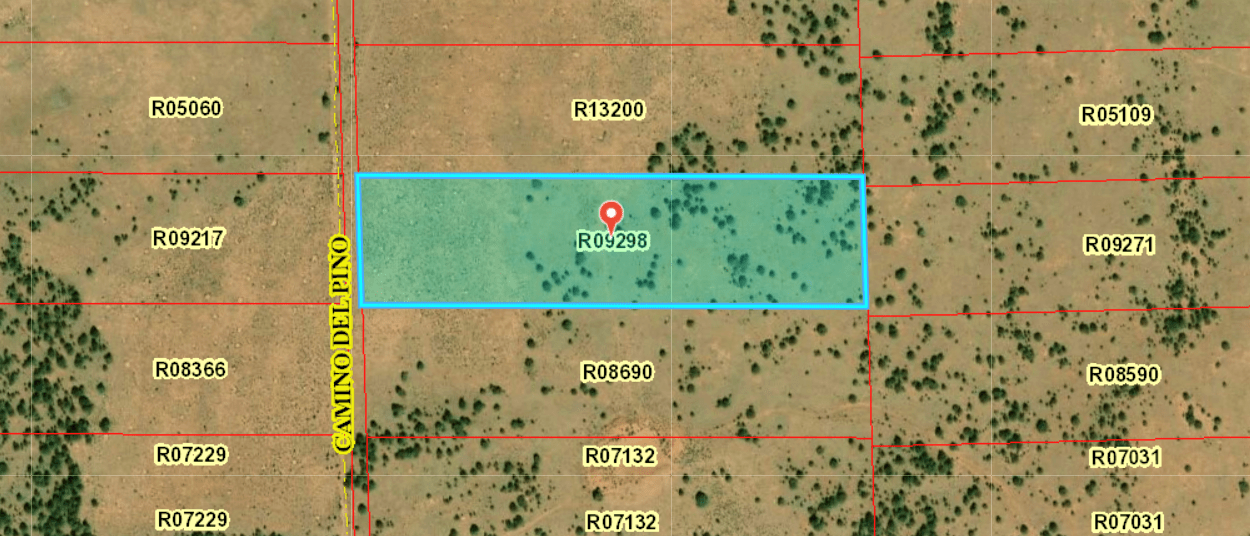
APN or Other ID: R09298
Alternate Parcel Number: 2077046340285
Legal Description: Subdivision: TIERRA VERDE Lot: 31 Unit: 1 10 AC 0 0
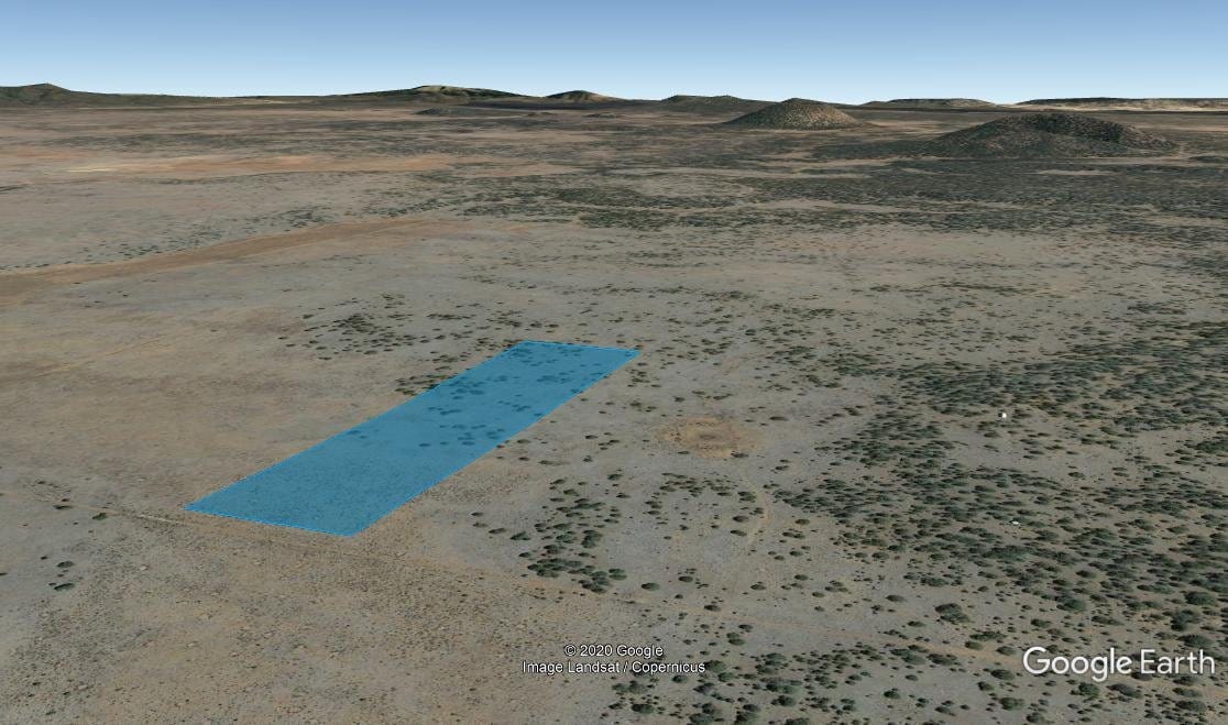
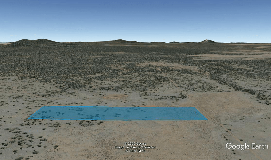
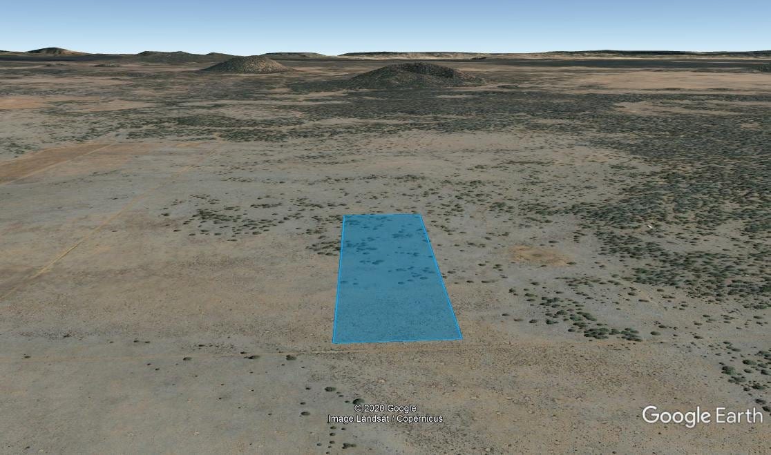
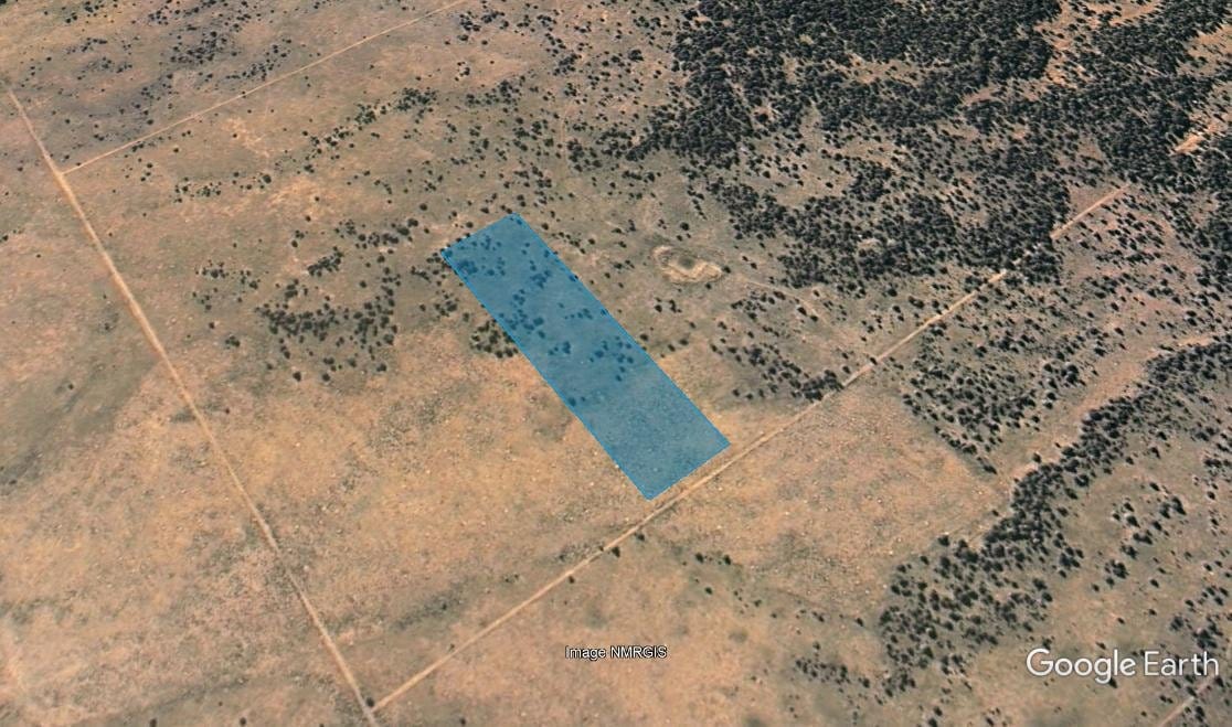
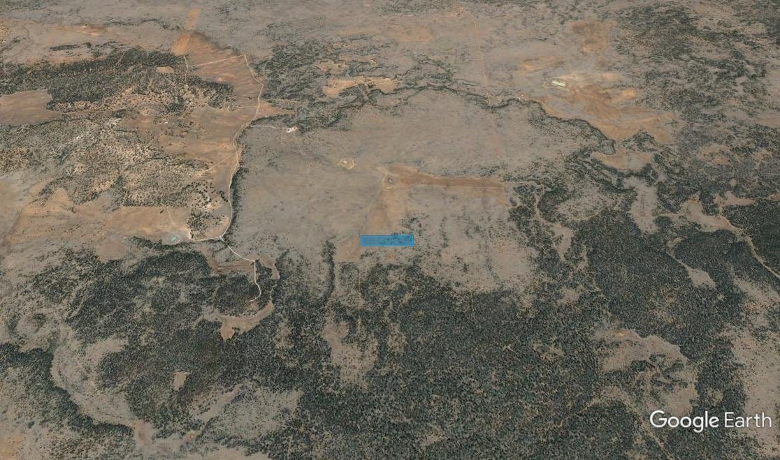
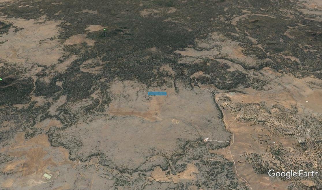
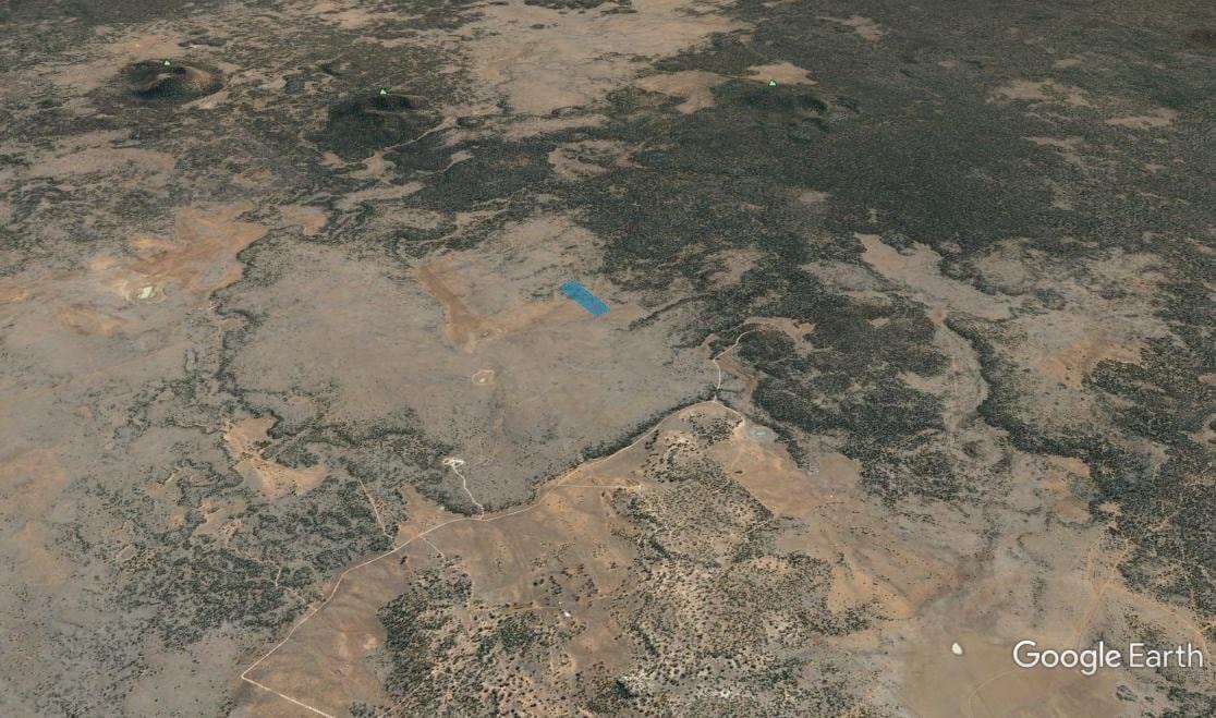
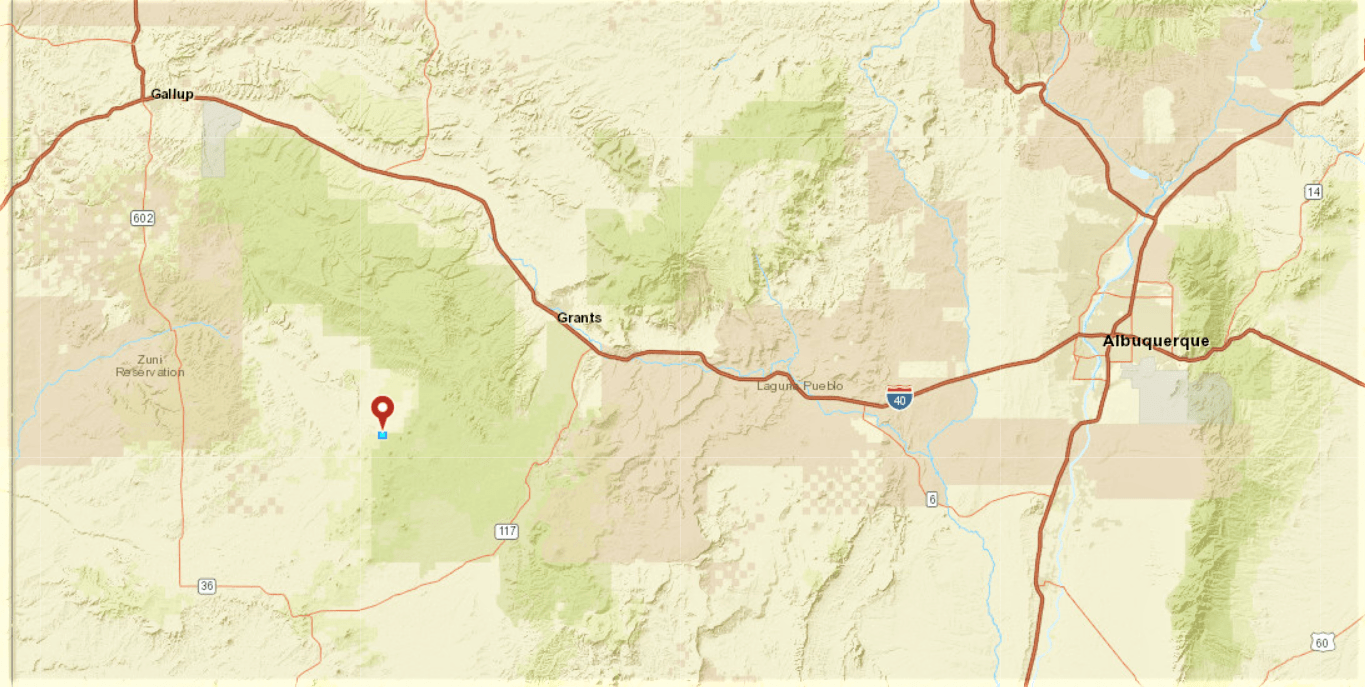
GPS: SW Corner: 34.923200, -108.234400;
NW Corner: 34.924100, -108.234300;
NE Corner: 34.924100, -108.230200;
SE Corner: 34.923200, -108.230200
Land Use: Vacant Land
Zoning: Non-residential. The county has no zoning ordinance, therefore, the term “non-residential” is used by the Assessor’s office to indicate that no residential building is located on the property. All building permits are issued from the New Mexico Construction Industries Division. Some properties may be in a special flood hazard area and may require a Floodplain Development Permit. Please contact the Floodplain Administrator for details.
Zoning Website: http://www.cibolacountynm.com/departments/planning_and_zoning_information/index.php
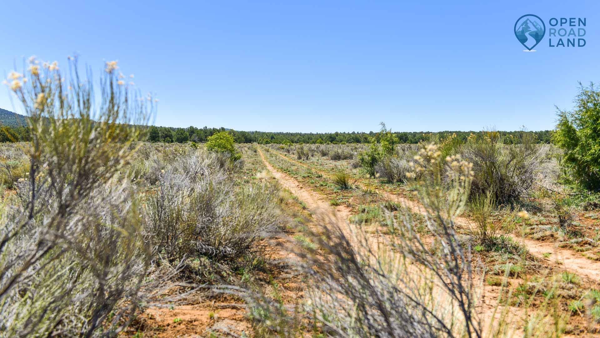
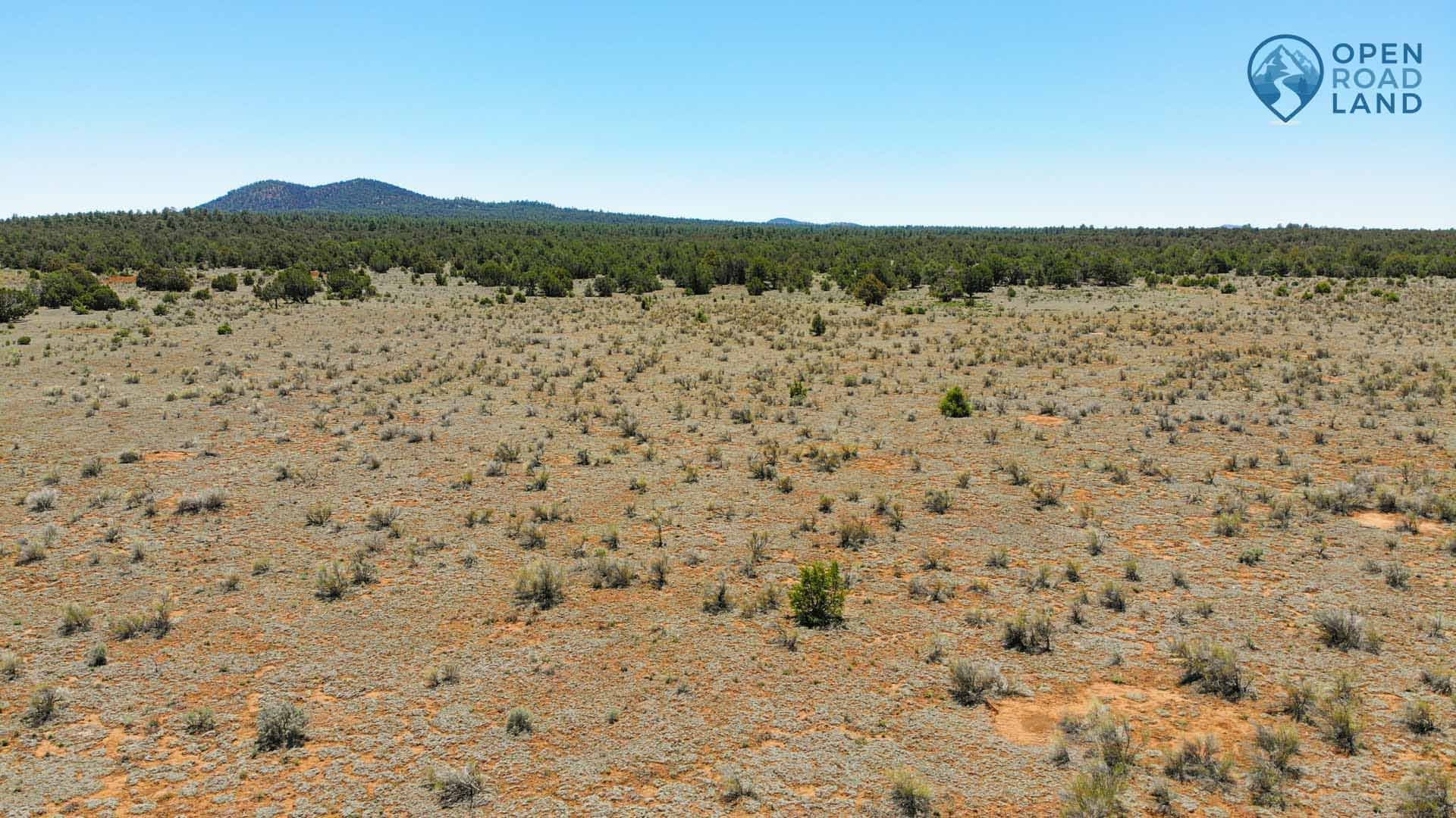
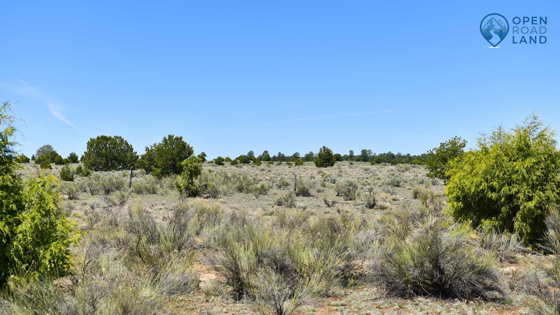
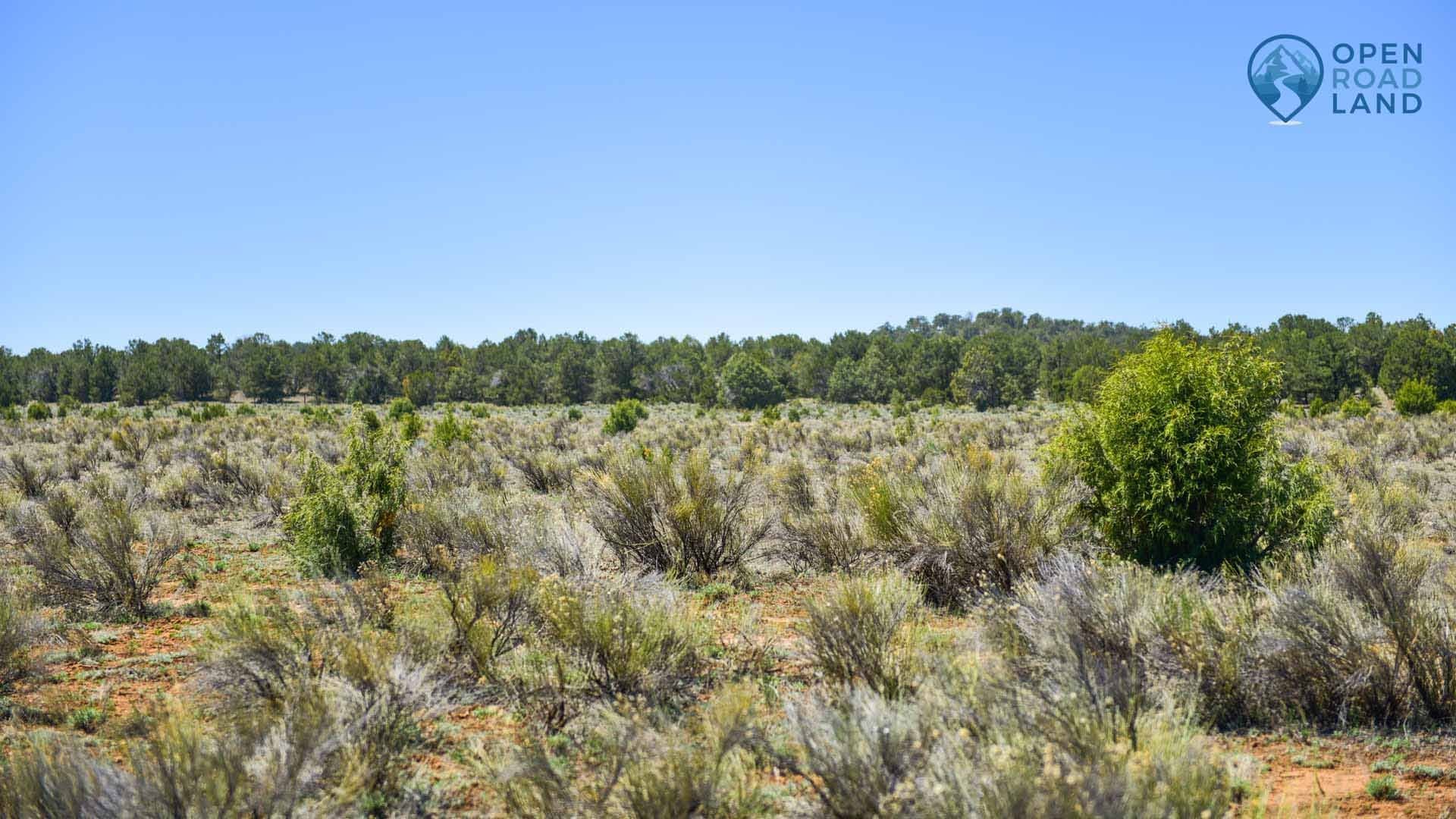
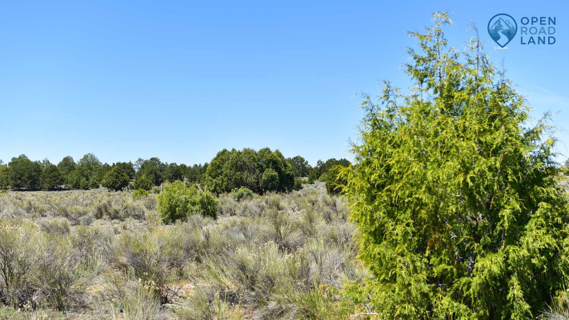
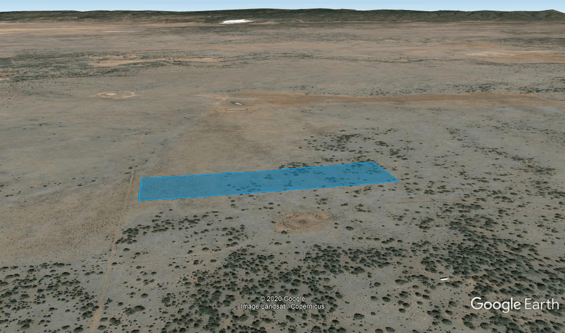
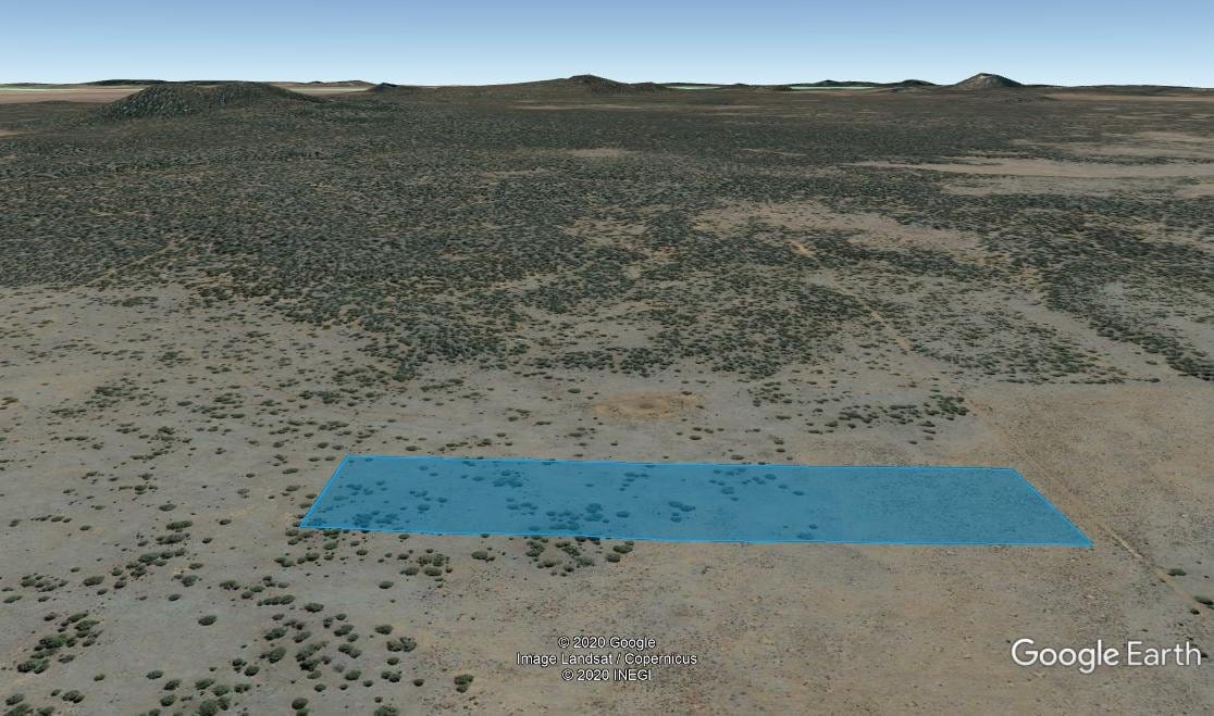
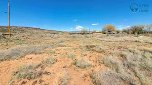
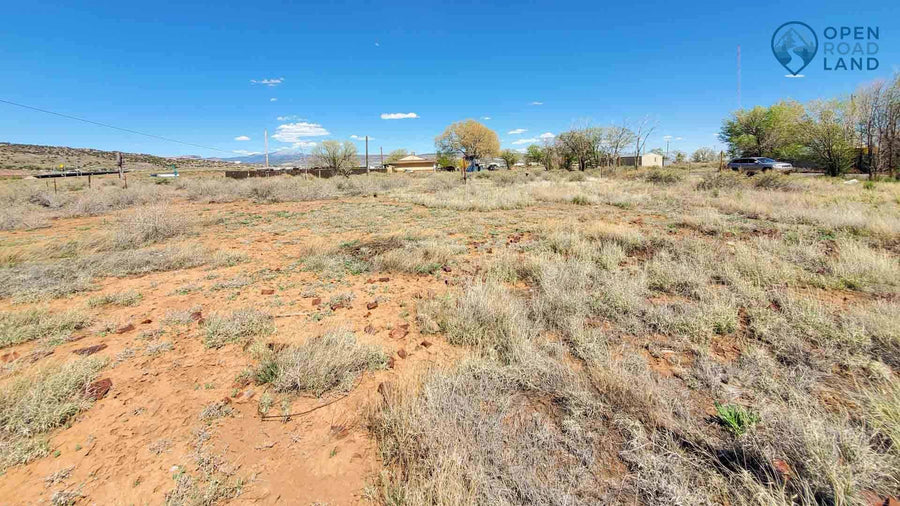
Terrain: Flat
Power: By solar or alternative energy source.
Power Company: Continental Divide Electric
Phone: (505) 863-3641
Water: By well, haul in, or alternative system.
Sewer: By septic system or alternative system.
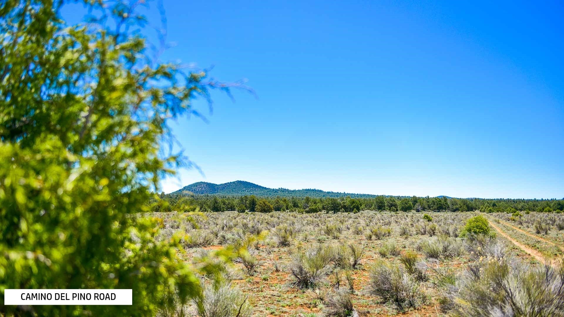
Roads: Dirt
Flood Zone: Zone X
HOA Fees: None
Title Info: Free and Clear
Annual Property Taxes (Approx): $146.10
Disclaimer: We make a strong effort to provide you with accurate property information although we cannot guarantee all details. We encourage you to always verify property details listed. As a precaution, due diligence in any real estate transaction is encouraged and closing through a verified title company is advised.
-
NEARBY ATTRACTIONS:
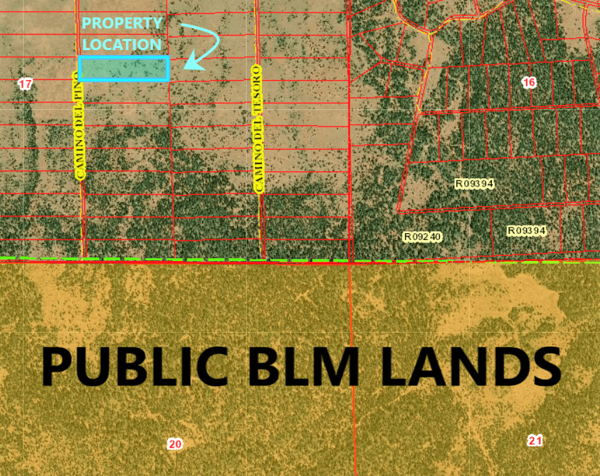
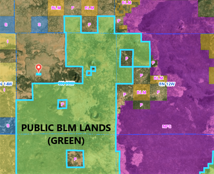
BLM Lands
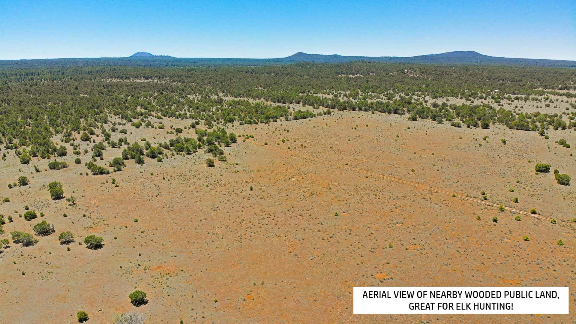
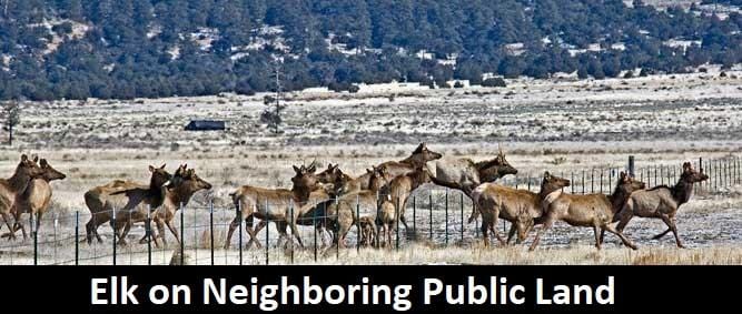
Located steps away from the property are thousands of public lands managed by the Bureau of Land Management (BLM). Unless specifically prohibited, these lands are open to hunting in New Mexico and feature three main types of hunting available -- upland game bird, small game, and big game (for example, deer, antelope, and elk). Varmint (non-game) hunting also is allowed. Learn more at http://www.wildlife.state.nm.us/
El Malpais National Monument and Park
This area of wild and wonderful land encompasses over 350,000 acres, and offers experiences that range from scenic drives and self-guided trails to remote wilderness exploration. This area was established in 1987 to protect nationally significant geological, archaeological, ecological, cultural, scenic, scientific, and wilderness resources surrounding the Zuni-Bandera volcanic field. Here you can hike the El Calderon Trail and back country camp to see the long sloping hills of a quiet volcano and winding trenches that were once glowing rivers of lava. Go caving and explore the Bat and Xenolith Caves.
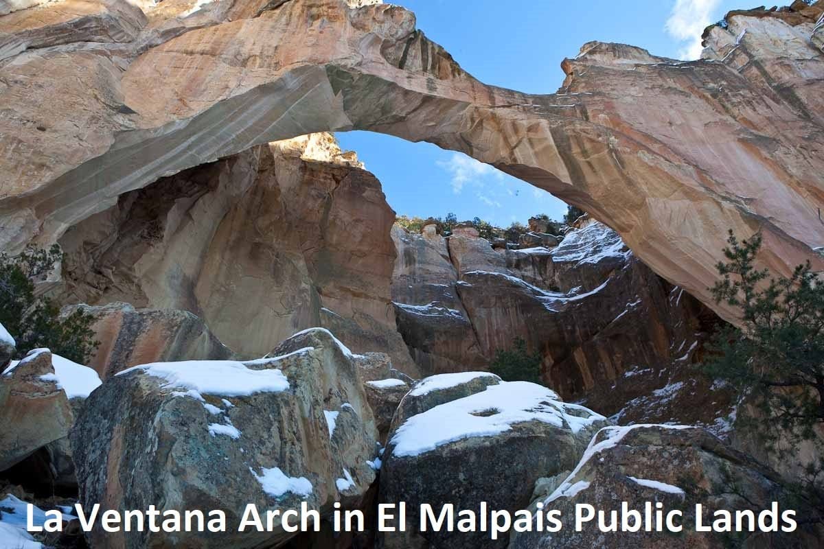
This conservation area also includes dramatic sandstone cliffs, canyons, La Ventana Natural Arch, Chain of Craters Back Country Byway, Joe Skeen Campground, the Narrows Picnic Area, and the Cebolla and West Malpais Wilderness Areas. There are many opportunities for photography, hiking, camping, and wildlife viewing as well as opportunities to see abundant wildlife: deer, elk, mountain lions, bobcats, coyote, bears, turkeys, snakes, and lizards.
Learn more at https://www.nps.gov/elma/index.htm
La Ventana Natural Arch
La Ventana, meaning “the window,” is the second largest arch in New Mexico and has a span of 120 feet. It’s five miles east of Grants, New Mexico and features beautiful wildflowers and a walking trail. This trail is primarily used for hiking, walking, nature trips, and bird watching and is accessible year-round. Dogs are also able to use this trail.
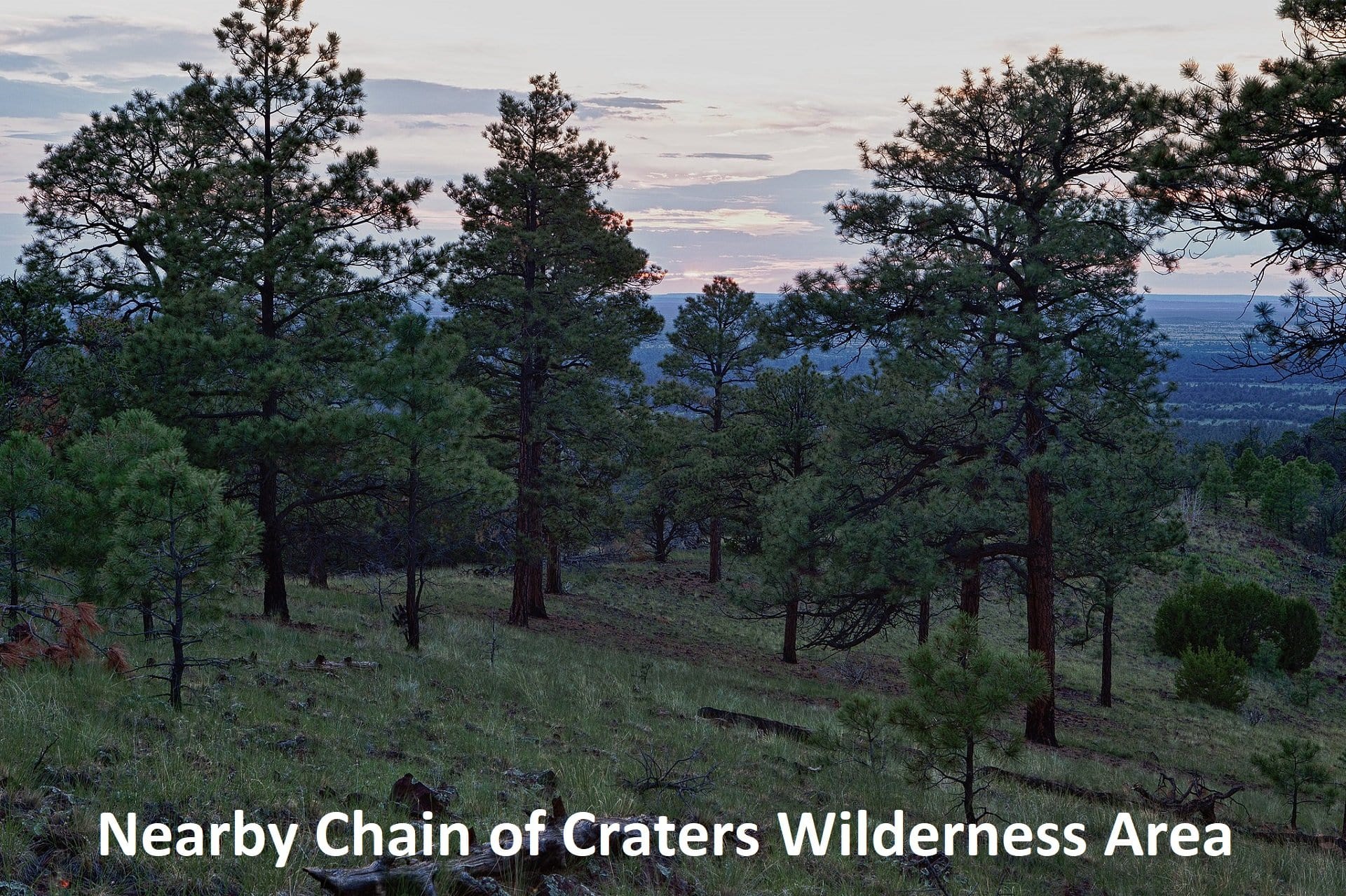
Chain of Craters Wilderness Study Area
Located within the El Malpais National Conservation Area, Chain of Craters is a line of more than 25 cinder cones that was the result of magma finding a weak spot in the Earth's crust. The lower elevations are dominated by piсon and juniper woodland giving way to forests of ponderosa pine at higher elevations.
The Ice Cave and Bandera Volcano
Located only 23 miles from the property is an area known as "The Land of Fire and Ice," the Ice Cave and Bandera Volcano. Here you can walk through the twisted old-growth Juniper, Fir, and Ponderosa Pine trees; over the ancient lava trails; down into the cave; and into a dormant volcano.
The Ice Cave
Located in part of a collapsed lava tube, the inside of the ice cave glistens blue-green in the reflected rays of sunlight. Here, the Ice Cave's temperature never rises above 31º F. The natural layers of the perpetual ice create such an atmosphere that even subspecies of algae can grow fruitful in near freezing conditions.
The trail to the Ice Cave is nearly a quarter mile long, and takes 20 minutes to complete. The viewing platform is located 70 steps from the initial landing near the surface of the lava tube. The final landing is located within the cave, with a spectacular view of the perpetual ice, and natural cave formation. The cave is subtly lit with the outside ambience, no lighting implements are required.
Bandera Volcano
The volcano is 800 ft. deep and exploded in volcanic fury some 10,000 years ago - very young in geologic time. It is one of the finest examples of an erupted volcano in the country, and one of the most accessible.
The trail to the Bandera Volcano is nearly half a mile long and takes 40 minutes to complete. The trail rises gradually from its base to its lookout, a total 150 feet. The lookout gives clear vantage to observe the shattering effects that shook the earth nearly 10,000 years ago, spewing magma from within, and bursting out the southern side.
NEARBY TOWNS:
Grants is on the north end of the large lava field known as El Malpais, meaning "the badlands", part of which is preserved as El Malpais National Monument. To the northeast of town are the San Mateo Mountains and Mount Taylor, at 11,301 feet (3,445 m) the highest peak in the region. West of the city is the Continental Divide and the Zuni Mountains, an eroded anticline with 2-billion-year-old Precambrian granites and metamorphic rocks at its core. The region is primarily high desert country, dominated by sandstones and lava flows.
CIBOLA COUNTY
Created in 1981 from Valencia County, Cibola County encompasses an area of approximately 4,540 square miles and has a population of 27,213 (2010). The City of Grants is the County seat.
Cibola County sits entirely within the Colorado Plateau region with elevations from 5,460 feet to 11,300 feet (Mount Taylor). The County encompasses open rangeland, broken terrain, escarpments, plateaus, mesas, and mountainous areas with the Malpais lava beds in the central region. The Continental Divide runs roughly north to south through the western half of the County. Precipitation varies from as little as seven (7) inches to twenty-five (25) inches in the mountainous areas east of Mount Taylor.
Economic activity derives from tourism (national forest areas, wilderness areas), entertainment and lodging (casinos, various events such as the Seven Trails of Gold, Octoberfest, etc.), mining activity, agriculture, and the service sector (retail and healthcare are major employers). Interstate 40 runs through the county along with U.S. Route 66, BNSF provides rail transport, and the Grants Milan Airport offers regional flight service.
Land Ownership is characterized by the amount of land owned or controlled by the Pueblos (Acoma, Laguna, and Zuni), the Ramah and To’hajiilee Navajo Chapters, the federal government, State of New Mexico, and private land (less than one-third of the land area of Cibola County).
Most of the County is rural in nature with only two major urban centers, Grants and Milan, together with a number of smaller designated places such as San Rafael, Bluewater Village, Fence Lake, Cubero, and San Mateo.
-
$499 Deposit Secures This Property: Once you click the "BUY IT NOW" button and complete the Checkout Process, we will receive an instant notification that your $499 deposit has been made. The $499 non-refundable security deposit is credited towards your purchase and reserves you the property during the closing process.
Financing: Price shown is the cash discount price. Owner financing is available at $11,999 with $499 down and $250 per month for 70 months. That is your all-in monthly payment including closing costs, property tax, and loan servicing.
Closing Using a Title Company: Closing through a local title company will cost approximately $550 and closing time is about two weeks.
-
Collections: Best Selling Products, Newest Products, Sold
Category: Access, Buildable, Cibola County, Featured Property, Hunting, Land, Legal Access, Manufactured Home, mobile home, New Mexico, Off grid, Property, raw land, Road Access, Rural, Sold, vacant, Views
Type: Raw Land
